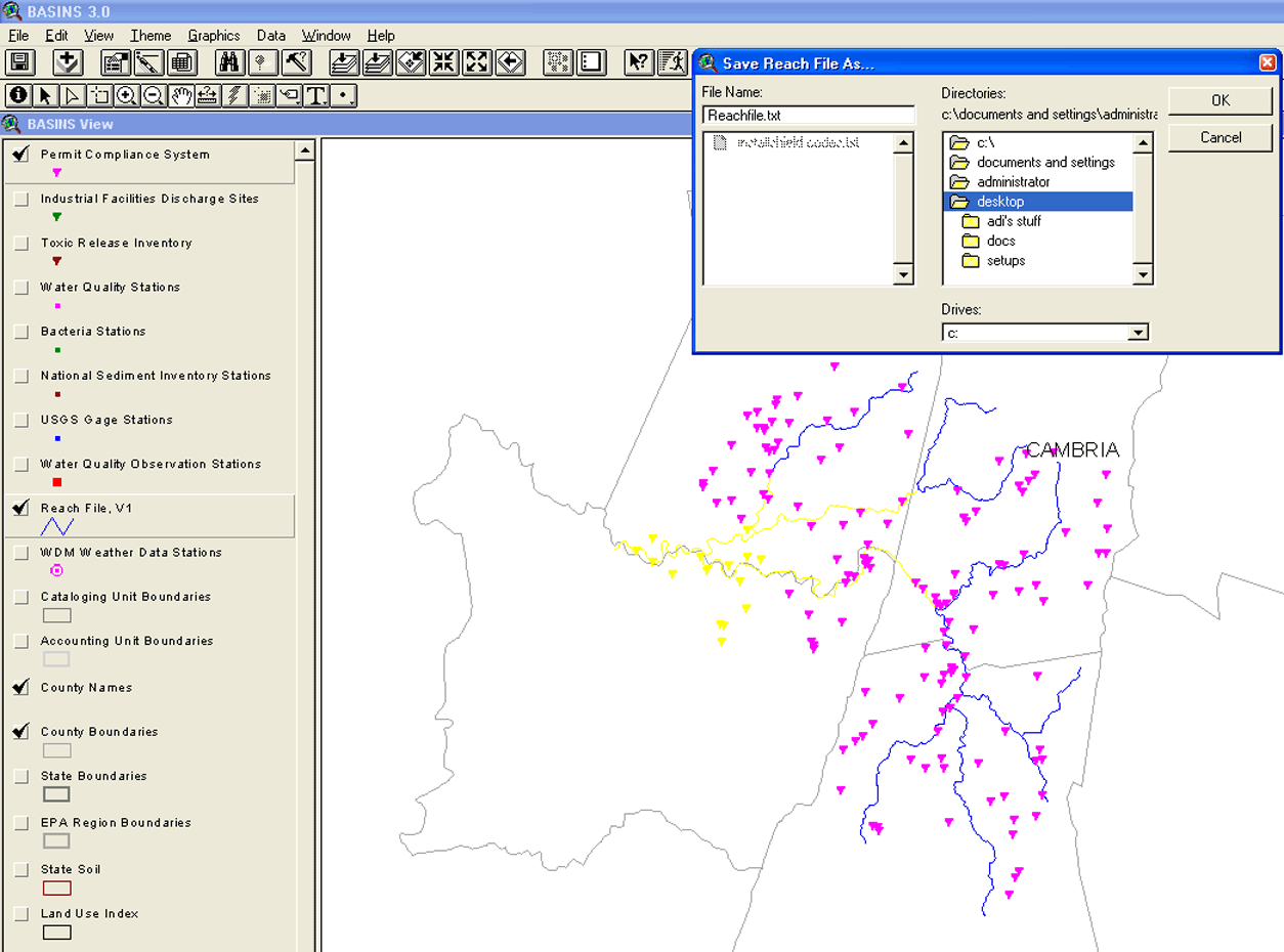
CorGis is a USEPA BASINS-3.0 GIS database - CORMIX data linkage tool that uses Arc/View 3.2
extensions for export of discharge and ambient GIS data into the CORMIX user interface.
CorGis 2.0 has been updated to use data from the Reach File v1 and the Permit
Compliance themes available in BASINS-3.0.
This tool provides linkage to GIS data on discharge and ambient flowrates for easy data import into the CORMIX UI.
This feature allows users to access GIS databases to specify input parameters for the outfall and
ambient streams and rivers.
IMPORTANT:
The CorGis extension in CORMIX (Cormix-GI.avx) works only in legacy versions of BASINS 3.0 and ArcView 3.x.
Unfortunately, ESRI has discontinued support for ArcView and the current version of USEPA BASINS in v4.5 is not compatible with
CorGis. We will have to do some additional development to be able to offer support to CorGis in newer versions of BASINS and ArcGIS.
Additionally, it is our understanding that USPEA BASINS is limited to watersheds within the USA.
We are not sure if they suport Permit Compliance System (PCS) data for the point source discharges, river, and water systems outside of the USA.
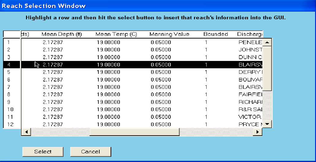
The CorGis integration basically allowed you to load ambient data such as average depth, flow rate, water temperature, and Manning’s N into the Ambient Tab of the CORMIX UI and the discharge flow rate
into the Discharge Tab of the UI - based on the PCS Point Source Discharge that was selected from BASINS. As a workaround, if the above data for your project is known, you
can directly enter it into the CORMIX UI without using CorGis.


CorGIS - ArcView 3.x /Basins 3.0 Data Extension |
|
|
Please review the CORMIX Feature Comparison table for CORMIX v12.0 versions, to check for CorGIS availability - VIEW |
CorGis is a USEPA BASINS-3.0 GIS database - CORMIX data linkage tool.
CorGis 2.0 uses data from the Reach File v1 and the Permit Compliance themes available in BASINS.
|
|
CorGis Reach Selection window.
|
|


